Kit Talk

Monday, 25 May 2015

Mersehead - Sand Dunes and Seascapes

A Walk along the shoreline at Mersehead Nature Reserve


Date of Walk -   22.3.15
Start Location  -  NX 928566   Mershead RSPB Nature Reserve.  There is a car park with a box for donations and a small visitor centre where you can learn about the birds and nature of the reserve and surrounding area.  There are also facilities to make yourself a cuppa for a small fee etc.,  Toilets also.
Total Distance  - we covered four and a half miles doing the round trip out to the shoreline along the dunes and back through the wooded area back to the visitor centre.  It really is up to you it can be as long  or  short you wish.
Surface - farm track, grass, sand both soft and hard packed wet sand.
What did we see - birds galore, grasses and flowers, jellyfish, seashells, flotsam and jetsam unfortunately the inevitable detritus of man.
Susan's Rating -  a very easy flat walk, just be aware of tide times, and the weather.  The day we were there it was sunny but windy which some felt was cold.  It's the shore expect wind and be prepared to dress accordingly, take a hat or a scarf or my favourite a Buff.


UPDATE   - 15/6/15  There would appear to be a parking charge now of £3.00 per car.  Just be aware and take money.   (Free parking for members of the RSPB.)


This area was severely affected by the Winter storms and the dunes received a fair old pounding.  We noticed a distinct change in the area on this walk, however the dunes are slowly re-establishing and I suppose this is just how things go in nature, constant changing and re-arranging.

We started our walk at the visitor centre and walked down the entry road to where there is a gate leading off to the left, new signage is in place.  We then headed along the lane which leads to the shore


On reaching the beach we turned right and headed down towards the cliffs, last year before the storms there had been deep gullies filled with seawater, the whole area resembled a model of an estuary, but these have all been washed away. After exploring around this area we turned and re-traced our steps but this time staying closer to the incoming tide so that the dogs could splash in the water and have fun without disturbing any of the birds or wildlife.
Heading down towards the beach.


This is an older photo which shows the dunes before the storms.

What this area looked like on the day of the walk. Much Flatter.


We continued up the shore until we reached the lane which leads through a gate and into a small wooded area where a narrow path ultimately brought us back onto the farm track leading back towards the visitor centre.  Of course this walk can be done in the opposite direction.  There are also offshoots which lead to various hides dotted about the reserve so it is possible to wander quite a while just enjoying the peace.

Please remember though that this is a nature reserve so be very careful about dogs if taking them, particularly at breeding and nesting season.  Probably best to make sure to have them under strict control or leashed.  There are plenty of opportunities for the dogs to enjoy themselves down on the beach closer to the water's edge.  Remember to pick up the dog mess too.

Please see link for more information on the actual reserve itself.

http://www.rspb.org.uk/discoverandenjoynature/seenature/reserves/guide/m/mersehead/

Sunday, 22 March 2015

Ae Talking Head Stane

Susan and Linda's Big Talking Head Stane Adventure.

21st February 2015

Start Location - For this  walk we headed from Loch Ettrick along the road to Ae Village, past the Gubhill road end and down the next road off to the left (see picture of signpost), we took this road and followed it down through the forest past the exhibition of machinery and parked up in one of the bays almost opposite Craigshields Outdoor Centre.  Grid Ref  NX 985 934.   At the time of writing I know that there are parking charges in the forest and I have been told that tickets are being handed out for non payment.   Please contact Forestry Commission for advice on parking other than the official car park.  Permits are available from the Forestry Comm.  which enable you to use Ae, Dalbeattie and Mabie.
We carried on down the fire road to the bridge and crossed over.  Grid Ref NX 985 934 bearing left we continue on this road until we reached the Stane itself.  I've got to admit this was our third attempt at finding the Stane.  It is dead easy once you know how.
Total Distance  -  6 miles approx.
Surface - fire road all the way.
What did we see - windfarms, stunning and varied scenery, mountain bikers and a short but very intense snow blizzard.  
Susan's rating - a generally easy walk however it is steadily uphill all the way there, but that makes for downhill all the way back


Taken from the opposite side.  Showing the road we came along.


The Bridge at the end of the road.  Turned up left.

Followed the sign


 It was about here that the road started to climb quite steadily.  I spied some runners over the other side of the valley.  It's amazing how many different activities take place, but today was quite quiet probably due to the weather we had been having.

 Following the road we made sure to continue climbing until we came to a sharp bend where we kept going up turning right which took us back in the direction we had come albeit on a higher road.  If you look at a map the Head Stane is situated almost directly above Craigshields.  Perhaps they should just cut a road straight uphill lol. 
 Carrying on up, looking back towards Queensberry.  Linda does not like Windfarms and had a good moan about them on the way up and on the way back down.
Grid Ref NX 987 928

Linda was elated to finally reach the Stane - at our third attempt.  Now we want to collect all 7Stanes.

The view from just past the Stane.

 After having a rather nice little picnic at the Stane in the brilliant sunshine we headed  back down.  On the way it got decidedly chilly and I stopped to put on my jacket.  A few minutes later I was extremely pleased I did.  In the photo below you can clearly see the weather starting to close in on us and within minutes it was a full blown blizzard. On an adventure walk I always carry my backpack in which I have full body waterproofs, a first aid kit, spare warm top and various other bits and pieces which may be handy in an emergency.   (See kit section for backpack photos).
Had another wee side stop on the way down, Kona had a splash about in the ice cold water.  There's always something to explore in the forest, all the seasons are different, it's never the same on each visit.
On our way out of the forest and I got Linda to stop the car so I could snap this picture of how the weather had changed, from blizzard to stunning sunshine.  What is it they say about Scottish Weather "If you don't like it, wait five minutes" or "four seasons in on day".

We are now on a mission to visit all the Stanes so more adventures to come no doubt.

Friday, 20 February 2015

Susan and Linda's Big Forest Adventure.

Loch Ettrick to Clauchrie Lay by.


Saturday 14th February 2015

Start Location - Loch Ettrick  Grid Ref  NX 944 936
Finish Location - Clauchrie Lay by Grid Ref NX 912 885
Total Distance 6 1/2 miles.  (from Garmin Oregon GPS).
Surface - Predominantly  Forest Fire Road - easy walking even when wet.
What did we see - obviously lots of trees, however not all forestry trees lots of variation.  Quite a few Buzzards, Sheep, spring flowers, catkins and some stunning scenery.  Met absolutely nobody whilst out and about today.
Susan's Rating - very pleasant walk, easy going and for the most part downhill until you come to Clauchrie and then it undulates for about a mile and a half.  This is why we did it this way round.

For this walk we employed the services of my long suffering husband to drive us to Loch Ettrick and pick us back up from the lay by at Clauchrie.  For the really energetic not averse to walking on roads, it is possible to park your car at Loch Ettrick or Clauchrie and do a complete circuit by walking back along the road through Park and up to Loch Ettrick, just don't ask me at the moment how much this adds.  I may do this at a later date though.


Word of warning.
Just be aware that mobile phone coverage can be sketchy to say the least in the forest.  So if two or more people are heading out check your provider and all the better if they are different.  Make sure you are fully charged up too.  Always leave a note or tell someone of your start point and destination and estimated time of arrival. 

Back to the adventure -

This walk was an outing to see what sort of route/journey two of our sort of favourite forest walks would make when joined together as one fairly longish walk.


We started at Loch Ettrick and made our way to the location of the mast.(  If you keep on the road and go straight, don't take any of the off shoots then you will arrive at a cross roads NX 937 921 the mast will be on your left on the top of the hill.  You can make a detour to have a look of you want, on a nice day there is a really good view of the surrounding countryside. You can also make a round trip here which will bring you back onto the fire road heading back to Loch Etrrick Lay by and this is a lovely walk in itself (approx 4 miles). ) However today we carried on going slightly uphill  and by following the road round to the right it brought us out onto Gawinmoor, keeping on this track we just kept going slightly downhill until we came to the new sign posts put in place by the core paths people.  We passed them and again kept going downhill (more pronounced) this time, until we reached the gate at the bottom of the forest.  We carried on  downhill by keeping the forest to  our right hand side and the fields to our left, there are large piles of stones in the field so when we saw those we knew we were in the right place.

The photos apart from showing what the walk looks like etc serve the function of illustrating the route and general direction.   I would advise anyone walking in the Forest to take a map, not only for route finding but also a map shows where there are bits and pieces of interest along the way, there are quite a few cairns marked up in Auchencairn and these will probably be the focus of another wee adventure for me soon.   The grid refs on my blogs are taken directly from the wonderful OS Get a Map pages.  You don't need to subscribe to see the mapping functions but if you do subscribe you can print off maps to suit your own needs.  I find it brilliant for making my own route cards and things.  Can spend a good long while just pottering abut with it really.

At the mast junction - take the Uphill Road for this particular route.

Head along here, road drops down hill to a righthand bend.

Not the clearest pic, but this clearing is on the left.

Just love this section.  Look out for the Look out tower.

Stones in field on your left side going down. Photo Linda Airely.


Gate Leaving forest (this is taken from the other side)


Leaving the forest by the gate we headed left and up lane to Auchencairn Cottage gate, from here it was just a case of following the core path signs down hill to the start of the Clauchrie Plantation.  Before we crossed the wee wooden bridge we stopped for a short picnic, out came the coffee and shortbread. Kona and Tess duly mugged us for treats.


Me (Dora the Explorer Mode) and Tess Auchencairn Cottage Road.
After entering the forest we once again just followed the signs, it is however basically a straight route up and down (this is probably the most undulating section of the route) up and finally downhill all the way to Claurchie Farmhouse.  To finish the walk we left the forest by the gate and made our way up the lane to the lay by.

Kona Heading down to Clauchrie.

 More photos can be seen on the blog "Clauchrie Clamber".

However here is one of Linda's.


 Just a reminder to any readers (if there are any) that these are my walks, I blog them for me (and Linda) they are not prescriptive in any way.  If they give inspiration then fine, but go out walk, make your own routes, but always be aware of your surroundings take note of where you are and how to get back to where you started.


Sunday, 8 February 2015

Clauchrie Clamber.

Location  -  Clauchrie Plantation, between Park nr. Closeburn and Auldgirth on an unclassified road. 
Grid Ref for layby to park your car  NX912885
Total Distance   - Measured on OS Get a map - 4 mile round trip.
Surface - Mainly Forest track/fire roads with a couple of grassy fields.
What did we see - a lovely cloud inversion, beautiful frost patterning on the ground and on the foliage.
Susan's Rating - always one of my favourite places to walk, run and explore.  This walk involves quite a fair bit of uphill to begin with and then it undulates.  It's not steep uphill though just keep it nice and steady and it's very do-able.


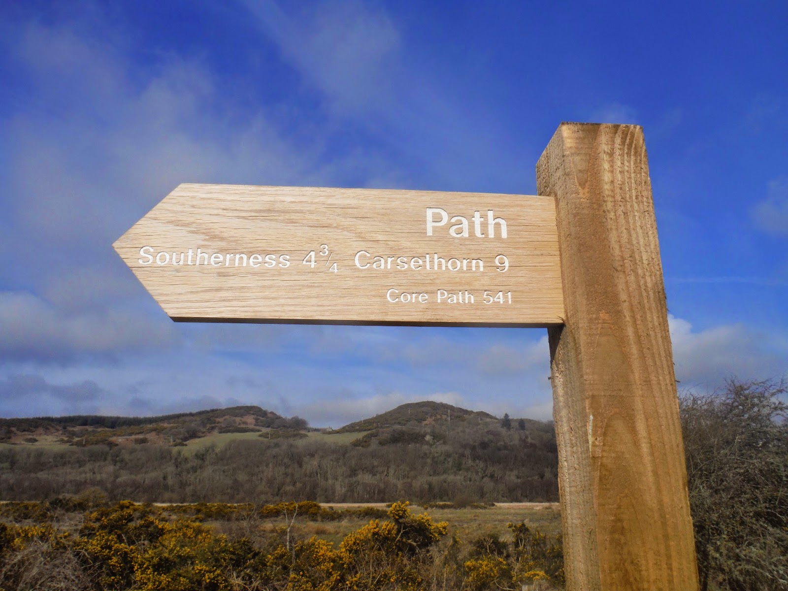
We started out at the Clauchrie Layby and made our way down the track towards Clauchrie House.  The Core Path people have been doing a fair bit of work on this path.  (Core Path 3) There are brilliant new gates throughout and finger posts pointing the way so if you follow these you won't get lost.  They've even put in a planked bridge at the bottom of the forest to make access to the field climb a little easier.

So following the finger posts we headed upwards until the finger pointed to the left hand path which we followed to its end point where another finger post pointed the way to the new gate into the field and the great new bridge brought us safely into the field.  From there we just followed the dyke line all the way to a gate at the top of the field, again another finger post pointed us in the right direction, through this gate up through the field at an angle to another gate in the topmost corner of the field.

At this point after a chat with the small holder from Auchencairn Cottage and his family we turned and headed back the way we had come.  Good signage on the gate posts reminded us to keep the dogs under control and I would urge everyone to keep dogs on leads near livestock particularly during LAMBING TIME.   We walkers, ramblers, runners have a duty to act responsibly in the countryside and help to maintain good relationships with the people for whom the countryside is more than a place to enjoy and have fun in.


The Lay By. Turn down the road and over the bridge.

New gate into the forest, follow the finger post.


The Left Hand path - yes it was a different day.


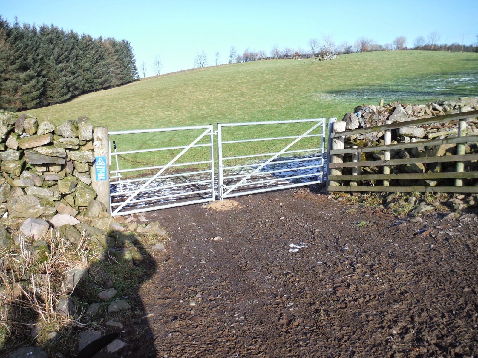
Core paths have put in a nice hard path and a new gate.

New Bridge which makes the walk a lot easier and safer.


Second last gate.


Top gate in the corner of the field.


From the  turnaround point at NX921905 you can continue and extend the walk in several directions.  Carry on down the lane to the gate at the forest and you can turn right into the forest and go to Loch Ettrick, Auchencairn Mast and various points within the forest.  All routes well worth exploring. Or you can continue down the tarmac road which leads to Croalchapel.  This can form part of a circular route by heading through Park Village and carrying on up the road leading back to Clauchrie. 

I've been here many many times in all different types of weather but today was one of my favourite days, it was clear and crisp and cold in places but the cloud inversion made it a little bit special.


Sunday, 11 January 2015

The Doon - 4th January 2015


Location -    Tynron start and end grid ref NX8092    Grid Ref for The Doon itself NX819939
Total distance - approximately 3.5 miles.  (but I will do this again with the garmin to make sure)
Surface   -  Track, then open hillside, grass and mud quite a lot of muddy and boggy patches.
What did we see   -  Sheep, cows, one wee mouse and the most amazing spectacle of the mist rising from the valley.
Susan's Rating - not as hard as it looks at first glance, but there is a short steep climb before the top. Beware of the wet areas however they are very hard to avoid, have been up in summer and it's less wet unsurprisingly.  Well worth the climb.

My friend Linda had been going on about climbing Tynron Doon for quite a few months.  She had been up before a long time ago, but wasn't sure she was still up to it.  However as she had no problem on the walk we did at Moniaive last week I felt it was time we headed on up; and  what better time to do it than the first Dog Walk Sunday of the year.  Arthur was really pleased too as this had been on his to do list for a while, so joined by Eunice and Digger we all set off on our big adventure.


Start point for us for this walk was the car park of Tynron Village Hall from there we followed the track which leads up from the church past the graveyard the way is signposted.  There are other ways onto the hill but this is my favourite at the moment.


The finger post is situated near Choo Campbell's memorial bench.  Follow the arrows and keep to the right hand track, not the one which leads uphill.

Keeping on this track we wound our way steadily uphill past the waterfall which was in full spout due to all the lovely rain we have been having lately ( the road splits again but take the left hand side and continue uphill).  We stepped out of the gate at the top of the track onto the hill and gave Linda a few moments to contemplate what she was about to undertake.

The view from the gate.  Granted on a nice Summer day - look at that sky.


Once though the gate we followed the track upwards then veered off to the right to cross the stream and through another gate.  Now this is where it gets fuzzy a bit.  There are tracks, you can see them quite clearly and it's just a case of picking your way across and up to the summit.  However we took a slightly zig zag approach to avoid some cows, we made sure to keep well away from them, not that they seemed bothered in the slightest.  I'm sure they are well used to people trudging about their home.  We weren't the only people on the hill and that was on a damp dreich day.

After several stops for photo taking and wee breathers we made it to the stop.  I rather think Linda was well pleased and Arthur was too. Needless to say the dogs had a ball.   Here are some pictures taken from the top.


Wee Breathers LOL

Did I say I thought Linda was well pleased.

Nithsdale in all her glory.

Kona


This tickled us pink we watched it for quite a while.


 Tynron Doon or as some call it "The Doon" is not the highest hill in the area at 291m (955 ft) but I feel that it has some of the best views.  You can see an awful long way in all directions and we spent some time figuring out where we had been on previous walks and where we would like to explore on future walks.


 Arthur Meg and Spot on their way back to the car park.  Kona seems determined to beat them to it.

If you are interested in history here's a link to a page which tells you a little about the hillfort. 
http://www.megalithic.co.uk/article.php?sid=24108

At the end of the walk Arthur had to leave us, so Linda, Eunice and I spent some time looking round the graveyard and the outside of the Church.  I've lived in this area all my life and this was the first time I've been up to and around the church.  Eunice says that there are some fine stained glass windows in the Church and as I have an interest in Stained Glass windows I hope to get to see them soon.